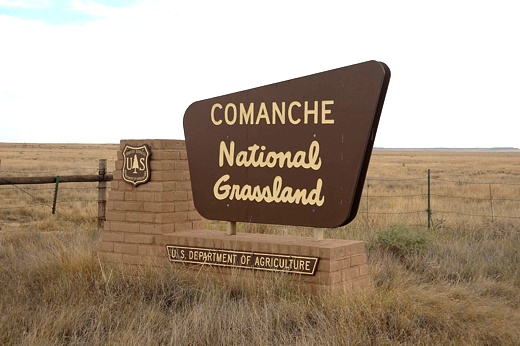
FOREST MAIN PAGE
Campground Lookup Table

Dispersed Camping Lookup Table*
| Name |
GPS Coordinates |
Comments |
| Carizzo Picnic Area |
N37 08.124,
W103 00.902
Elev. 4700' |
Picnic tables w/ramada & pedestal grilles, rock art, swimming hole |
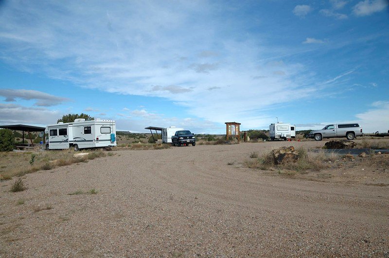
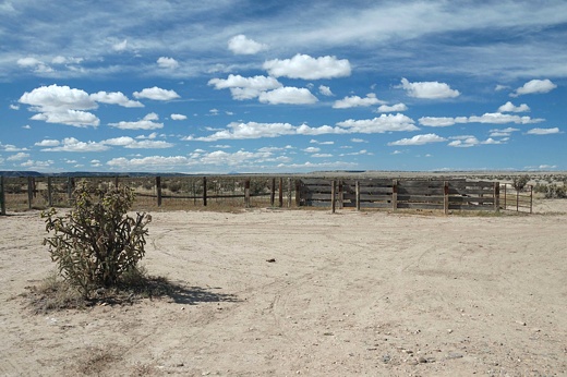
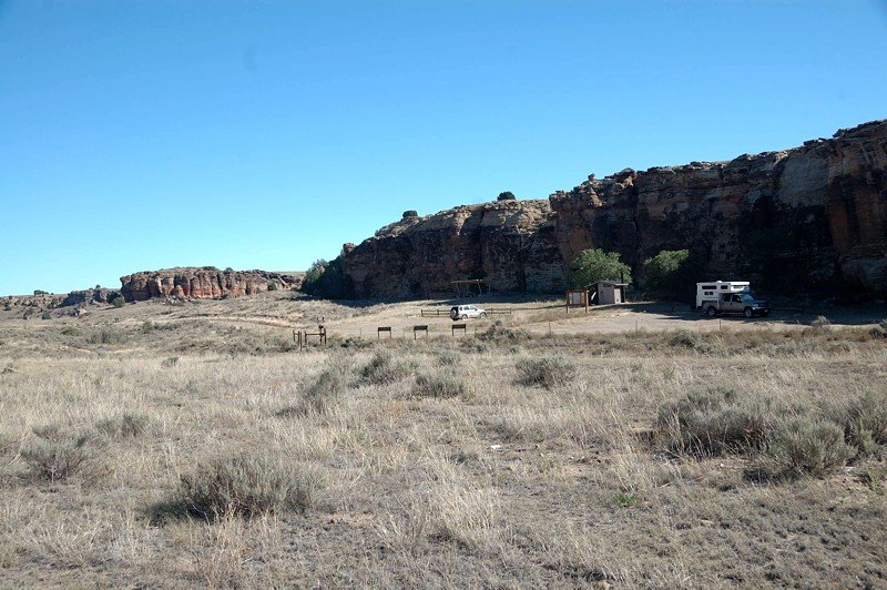
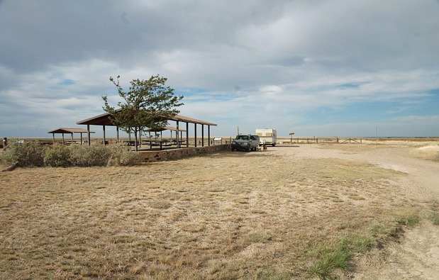
| Picket Wire Corrals |
N37 39.533,
W103 37.171
Elev. 4600' |
Large open field parking for any size RV, vault, no water, corrals, Picket Wire Canyonlands trailhead |
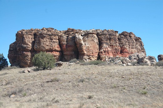
| Picture Canyon Picnic Area |
N37 00.736,
W102 44.676
Elev. 4300' |
Small park area, leveling challenges, small RVs/slide-ins, hiking trails, rock art/homestead ruins/dyno trax,
vault, star gazing, wildlife viewing, tables w/ramadas and pedestal grilles |
| Red Rock (named by authors) |
N37 00.874,
W102 44.658
Elev. 4300' |
Adjacent to Picture Canyon Picnic Area, large level open field, any size RV |
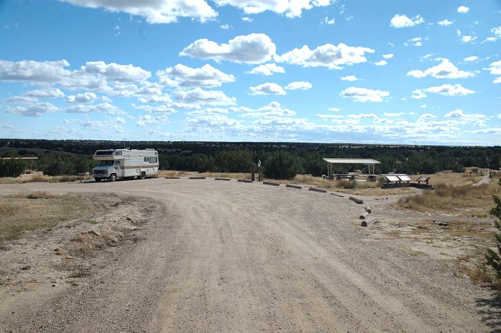
| Timpas Picnic Area |
N37 49.415,
W103 46.259
Elev. 4400' |
Picnic tables w/ramada and pedestal grilles, vault, trash pick-up, any size RV, no water |
| Vogel Canyon Picnic Area |
N37 46.207,
W103 30.772
Elev. 4400' |
Picnic tables w/ramadas, vault, pedestal grilles, trash pickup, hiking trails, rock art, wildlife viewing,
tents/small RVs |
Click on a site name for picture.

*The following are suggested dispersed campsites.
However, subject to Forest Service rules, one can
camp most anywhere on the grassland.
|


