|
Click here to transmit an email to the authors with corrections or
updates. Please include your name and telephone number for the
authors so they may communicate with you if there are questions. If
you wish to speak with the authors by telephone, call 520-432-5783.
. . . Thank you . . .
Grassland Information
Visit Date: 8/14/2011
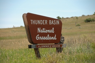
Thunder Basin National Grassland (NG), comprised of 560,166
acres, is located in northeastern Wyoming in the Powder River
Basin between Big Horn Mountains and the Black Hills. It is
administered by the Medicine Bow-Routt National Forest
supervisor's office, Rocky Mountain Region. There are no
developed campgrounds, but a number of dispersed campsites are
described in the table below.
Thunder Basin NG was settled in the 1800s under a variety of
"Homestead Acts," which opened the land to people, generally
farmers, and helped to settle the west. A prolonged period of
drought in the late 1920s into the 1930s caused some homesteads
on sub-marginal farmland (a location receiving 15 or less inches
of annual moisture) to literally dry up. During this time,
Congress established the Land Utilization Program (LUP) which
bought homesteads from bankrupt private owners and returned it to
public land status. In the 1950s, the LUP holdings were assigned
to the U.S. Department of Agriculture, Forest Service, which was
tasked with the management of these sub-marginal lands. Over the
years the Forest Service has established some twenty national
grasslands, including Thunder Basin, from sub-marginal lands.
"The designation of the area as National Grassland is not a
description of the area as much as a statement of policy and
effort to restore the area to a multiple of uses and benefits."
Today, Thunder Basin NG provides the public with livestock
grazing, wildlife habitat, minerals production and a number of
opportunities for recreation, including hiking, sightseeing,
hunting, off-highway riding, and fishing. It is a land that is a
patchwork pattern of federal, state, and private lands, blending
uses in ways to conserve and protect the land. Thunder Basin NG
has two sections; the northern Spring Creek area and the larger,
southern Thunder Basin area. Both are rolling grasslands and
sagebrush, cut through by four rivers - Cheyenne, Little Powder,
Belle Fourche, and Little Missouri. Herds of Pronghorn antelope
roam the open spaces and hundreds of bird species find homes in
the riparian areas along the rivers and ponds and in grasses in
Spring Creek area. The southern section, Thunder Basin area, is
rich in mineral resources, and in the past there was mining for a
variety of minerals. However, now only the coal and bentonite
mines are active. Both sections of the grassland is spotted with
traces of the past, from prehistoric hunting camps to ruins not
60 years old. Please do not disturb or remove any artifacts.
The Thunder Basin NG is very important to many species of
grassland and shrub land bird species. Some of these include:
Northern Sage-grouse, Ferruginous Hawk, Bald Eagle, Prairie
Falcon, Red-tailed Hawk, Swainson's Hawk, Mountain Plover,
Merlin, Burrowing Owl, and Great Horned Owl. Thunder Basin NG is
also an important component to the survival of Great-sage grouse.
One recreational opportunity growing in popularity in the Spring
Creek area is off-highway trail riding. Currently, this activity
is in the Weston Recreation Area but other locations are under
consideration. Contact the Forest Service for more details.
One activity unique to the Thunder Basin NG is Coal Train
watching. Several massive coal mines are located between
Gillette and Wright, WY and within the grassland. Mile long
trains transport the coal where it is need across the country and
pass under a bridge on Forest Route 942. Visitors to the
grassland stand on this bridge and watch trains full of coal
leave the area and empty coal trains return. The number of coal
trains and their lengths is incredible.
Another memorable aspect of Thunder Basin NG is wildlife.
Pronghorn antelope, deer, hawks, and eagles are often seen on the
grassland. A robust population of jack rabbits, desert
cottontails, Prairie rattlesnakes and other small mammals support
the grassland's population of coyotes, badgers, weasels, red
foxes and bobcats. Over 13,000 acres of the grassland have been
dedicated to Prairie Dog colonies. These colonies, while not
welcomed by many ranchers, are a natural part of the grassland
and provide hours of viewing for visitors. One word of caution,
although Prairie dogs are cute and fun to watch, they can carry
various illness dangerous to both human and our pets - don't let
pets run free through colonies. Maintain a safe distance from
these cute critters and NEVER touch one whether alive or dead.
It is suggested, if you walk through a Prairie dog colony, spray
a quality DEET product on your clothes and shoes.
The Thunder Basin NG doesn't have a lot of developed recreation
opportunities and there are no developed campgrounds. What this
grassland does have is lots of space, endless horizons and
limitless recreation possibilities. There is the excellent
Weston Recreation Area's Off-road trails, the serenity of Kellog
Reservoir Protected Wildlife Habitat, the peacefulness of Gibson
Draw, the quiet of Soda Well, the fight for Brown trout in Turner
Reservoir and more. This is not
your national forest with crisscrossing trails and defined
recreation but a place where you find your own fun and that is as
limitless as the sea of grass covering Thunder Basin National
Grassland.
DISPERSED CAMPING LOOKUP TABLE*
| Name |
GPS Coordinates |
Comments |
| Forest Rt. 942C |
N43 27.016,
W105 12.114
Elev. 4700' |
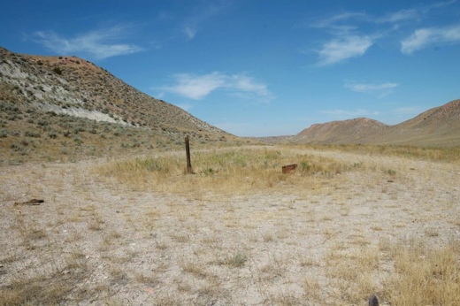
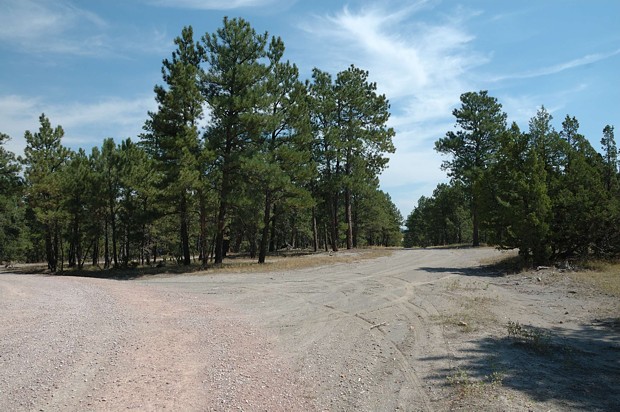
Camp at end of road; good views; remote/solitude; no shade; best suited for small, high clearance vehicle, e.g. slide-in |
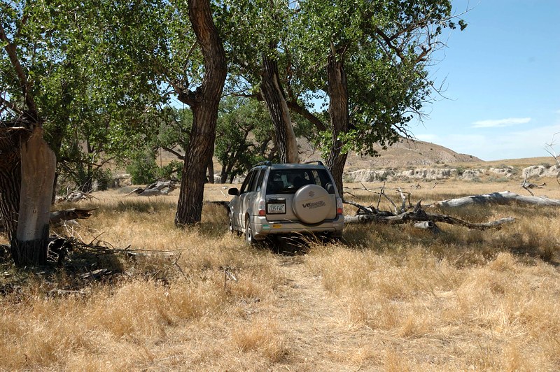
| Gibson Draw |
N43 28.833,
W105 13.166
Elev. 4500' |
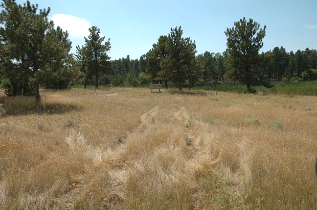
Shade from Cottonwoods; large parking area; open range for cattle; Prairie dog town; best suited for small, high clearance vehicle, e.g. slide-in |
| Kellog Reservoir - protected wildlife habitat |
N44 03.174,
W104 27.402
Elev. 4300' |
Fenced 5 to 7-acre lake (no fishing); some shade; wildlife viewing; small RVs and tents |
| Kellog Reservoir - in the pines |
N44 03.049,
W104 27.513
Elev. 4300' |
Shade from Ponderosa pine; on hilltop half mile from Kellog Resv.; tent and medium size RVs |
| Little Powder Reservoir |
N44 38.850,
W105 19.583
Elev. 3700' |
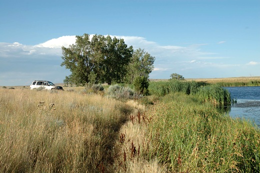
Reservoir is about 5 acres; limited parking/shade; primitive boat ramp; tranquil setting; Little Powder River nearby; tent and high clearance vehicle |
| Soda Well Picnic Area |
N44 38.858,
W105 12.114
Elev. 3700' |
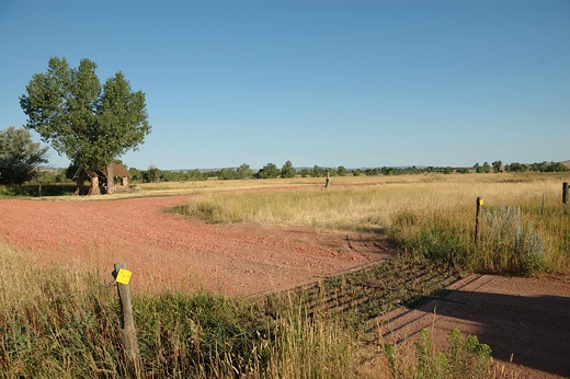
large gravel/grass parking area; quiet; no shade; historic stone shelter w/picnic table; Weston RA close by; large RVs not recommended |
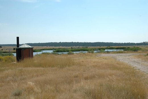
| Turner Reservoir |
N44 02.100,
W104 25.284
Elev. 4400' |
Total solitude & quiet; fishing - Brown trout; fishing pier; no shade; small, level parking area; small RVs |
| Weston Recreation Area |
N44 38.192,
W105 20.248
Elev. 3800' |
ATV "heaven" w/network of trails; large parking area; no shade; Weston Reservoir w/vault a mile away; any size RV |
Click on a site name for picture.

*The following are suggested dispersed campsites.
However, subject to Forest Service rules, one can
camp most anywhere on the grassland.

(Return to Top)

ADDRESSES
SUPERVISOR ADDRESS
2468 Jackson Street
Laramie, Wyoming 82070
307-745-2300

RANGER DISTRICT ADDRESS
Douglas
2250 E. Richards
Douglas, Wyoming 82633
307-358-4690 |


